


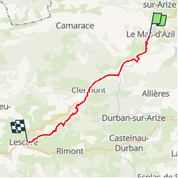

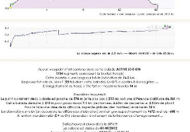
16.2 km | 23 km-effort

User


FREE GPS app for hiking
 SityTrail
IGN / Geographical institutes
SityTrail World
The world is yours!
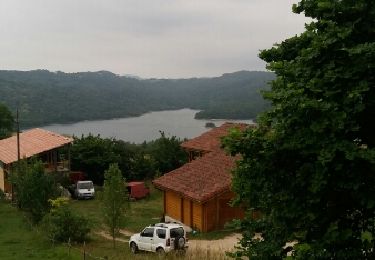
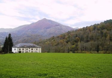
Trail Mountain bike of 16.5 km to be discovered at Occitania, Ariège, Le Mas-d'Azil. This trail is proposed by tracegps.
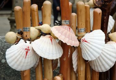
Grande Traversée VTT Ariège Pyrénées - Étape 10 - Mas d'Azil – Lescure. Circuit labellisé par la Fédération Française de Cyclisme. Une première partie très roulante puis on partage les sentiers de Saint Jacques de Compostelle entre chemins et sentiers. Agence de Développement Touristique d'Ariège Pyrénées Route de Ganac – BP 30143 – 09004 Foix Cedex Tél : 05 61 02 30 70/fax : 05 61 65 17 34


Walking
Walking
Walking
Walking
Mountain bike
Equestrian
Equestrian
Equestrian
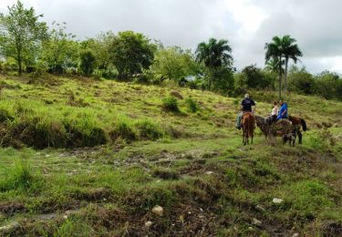
Equestrian